Property Record
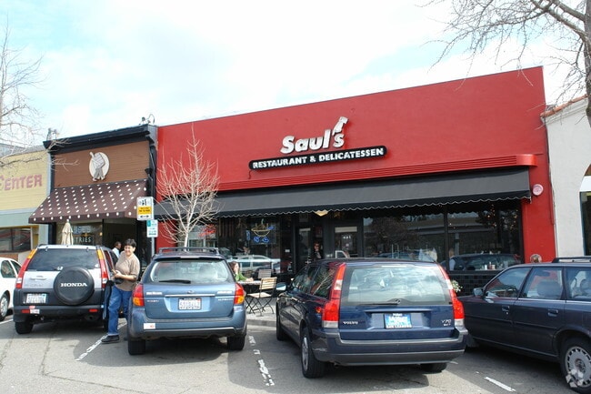
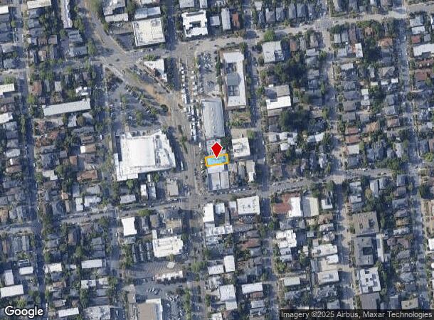
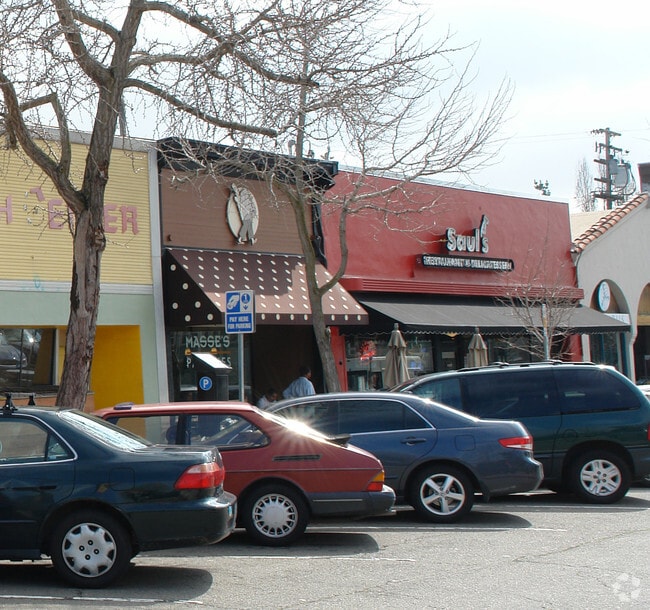
1475 Shattuck Ave, Berkeley, CA 94709

Property Detail
1475 Shattuck Ave
059-2261-009-00
Antisell
Restaurantbuilding
LOT: 00009 BLK: AR: 0059 PAGE: 2261
X
Alameda
06013C0244G
California
2024
0.08 AC
2025
Berkeley
421700
East Bay/Oakland
3,000 SF
Oakland-Fremont-Berkeley, CA
NEARBY LISTINGS FOR SALE OR LEASE
DEMOGRAPHICS near 1475 Shattuck Ave
1 mile
3 mile
5 mile
2024 Total Population
36,498
192,420
350,696
2029 Population
35,628
187,313
342,538
Pop Growth 2024-2029
(2.38%)
(2.65%)
(2.33%)
Average Age
40
40
40
2024 Total Households
15,184
75,769
144,205
HH Growth 2024-2029
(2.43%)
(2.78%)
(2.43%)
Median Household Inc
$96,913
$108,500
$110,139
Avg Household Size
2.10
2.20
2.20
2024 Avg HH Vehicles
1.00
1.00
1.00
Median Home Value
$1,112,296
$1,089,535
$1,064,514
Median Year Built
1948
1949
1955
Nearby Places
Map Layers
Map Styles
 Street
 Aerial
Transit
 Traffic
 Biking
Places
Listings with unknown addresses are not visible on the map
- Restaurants
- Banks
- Shops
- Fitness
- Groceries
PUBLIC TRANSPORTATION
TRANSIT/SUBWAY
Downtown Berkeley (Berryessa/North San Jose to Richmond - Bay Area Rapid Transit (BART), Millbrae/SFO to Richmond - Bay Area Rapid Transit (BART), Richmond to Berryessa/North San Jose - Bay Area Rapid Transit (BART), Richmond to SFO/Millbrae - Bay Area Rapid Transit (BART))
Drive
Walk
Distance
Downtown Berkeley (Berryessa/North San Jose to Richmond - Bay Area Rapid Transit (BART), Millbrae/SFO to Richmond - Bay Area Rapid Transit (BART), Richmond to Berryessa/North San Jose - Bay Area Rapid Transit (BART), Richmond to SFO/Millbrae - Bay Area Rapid Transit (BART))
3 min
14 min
0.8 mi
COMMUTER RAIL
Berkeley Amtrak (Capitol Corridor - Amtrak)
Drive
Walk
Distance
Berkeley Amtrak (Capitol Corridor - Amtrak)
10 min
3.2 mi
Emeryville (Capitol Corridor - Capitol Corridor Joint Powers Authority)
Drive
Walk
Distance
Emeryville (Capitol Corridor - Capitol Corridor Joint Powers Authority)
12 min
4.0 mi
AIRPORT
Metro Oakland International
Drive
Walk
Distance
Metro Oakland International
29 min
15.3 mi
San Francisco International
Drive
Walk
Distance
San Francisco International
43 min
25.9 mi
Freight Ports
Port of Richmond
Drive
Walk
Distance
Port of Richmond
23 min
10.9 mi
Nearby Properties
Address
Land Use
TOTAL SIZE
Lot Size
Zoning
Address
Land Use
TOTAL SIZE
Lot Size
Zoning
358,014 SF
5.03 AC
Address
Land Use
TOTAL SIZE
Lot Size
Zoning
167,071 SF
0.70 AC
Address
Land Use
TOTAL SIZE
Lot Size
Zoning
540,434 SF
14.37 AC
Address
Land Use
TOTAL SIZE
Lot Size
Zoning
395,549 SF
17.05 AC
Address
Land Use
TOTAL SIZE
Lot Size
Zoning
250,642 SF
17.05 AC
Address
Land Use
TOTAL SIZE
Lot Size
Zoning
240,633 SF
1.59 AC
Address
Land Use
TOTAL SIZE
Lot Size
Zoning
261,134 SF
2.23 AC
Address
Land Use
TOTAL SIZE
Lot Size
Zoning
169,157 SF
10.20 AC
Address
Land Use
TOTAL SIZE
Lot Size
Zoning
224,160 SF
5.03 AC
Address
Land Use
TOTAL SIZE
Lot Size
Zoning
4.77 AC
Address
Land Use
TOTAL SIZE
Lot Size
Zoning
309,451 SF
0.87 AC
Address
Land Use
TOTAL SIZE
Lot Size
Zoning
238,118 SF
2.14 AC
Address
Land Use
TOTAL SIZE
Lot Size
Zoning
60,670 SF
1.57 AC
Address
Land Use
TOTAL SIZE
Lot Size
Zoning
196,209 SF
3.14 AC
Address
Land Use
TOTAL SIZE
Lot Size
Zoning
123,750 SF
0.81 AC
Address
Land Use
TOTAL SIZE
Lot Size
Zoning
254,000 SF
1.71 AC
Address
Land Use
TOTAL SIZE
Lot Size
Zoning
127,260 SF
5 AC
I
Address
Land Use
TOTAL SIZE
Lot Size
Zoning
166,731 SF
0.54 AC
Address
Land Use
TOTAL SIZE
Lot Size
Zoning
180,977 SF
1.21 AC
Address
Land Use
TOTAL SIZE
Lot Size
Zoning
86,144 SF
0.52 AC
Address
Land Use
TOTAL SIZE
Lot Size
Zoning
126,087 SF
2.29 AC
Address
Land Use
TOTAL SIZE
Lot Size
Zoning
137,102 SF
3.63 AC
Address
Land Use
TOTAL SIZE
Lot Size
Zoning
159,705 SF
1.64 AC
COMM
Address
Land Use
TOTAL SIZE
Lot Size
Zoning
65,839 SF
0.62 AC
C2
Address
Land Use
TOTAL SIZE
Lot Size
Zoning
12.31 AC
Address
Land Use
TOTAL SIZE
Lot Size
Zoning
0.61 AC
Address
Land Use
TOTAL SIZE
Lot Size
Zoning
167,748 SF
1.27 AC
Address
Land Use
TOTAL SIZE
Lot Size
Zoning
3.61 AC
Address
Land Use
TOTAL SIZE
Lot Size
Zoning
90,594 SF
2.06 AC
Address
Land Use
TOTAL SIZE
Lot Size
Zoning
30,500 SF
0.24 AC
R4
The World's #1 Commercial Real Estate Marketplace
Connect with us
© 2026 CoStar Group
The information above has been obtained from sources believed reliable. While we do not doubt its accuracy we have not verified it and make no guarantee, warranty or representation about it. It is your responsibility to independently confirm its accuracy and completeness. Any projections, opinions, assumptions, or estimates used are for example only and do not represent the current or future performance of the property. The value of this transaction to you depends on tax and other factors which should be evaluated by your tax, financial, and legal advisors. You and your advisors should conduct a careful, independent investigation of the property to determine to your satisfaction the suitability of the property for your needs.